한국항공우주연구원
Mobile GnbGeostationary Satellites
Korea’s Cutting-Edge Satellites for Observing the Earth
Satellite
More countries are developing satellites, with more than 150 satellites launched each year worldwide. Earth observation satellites, meteorological/marine/environmental observation satellites, broadcasting/telecommunication satellites, and navigation satellites have an important role in national security and various fields such as economy, industry, and culture. The value of data observed from satellites is increasing as important big data in the 4th Industrial Revolution era.Securing satellite development technology to meet national public demand
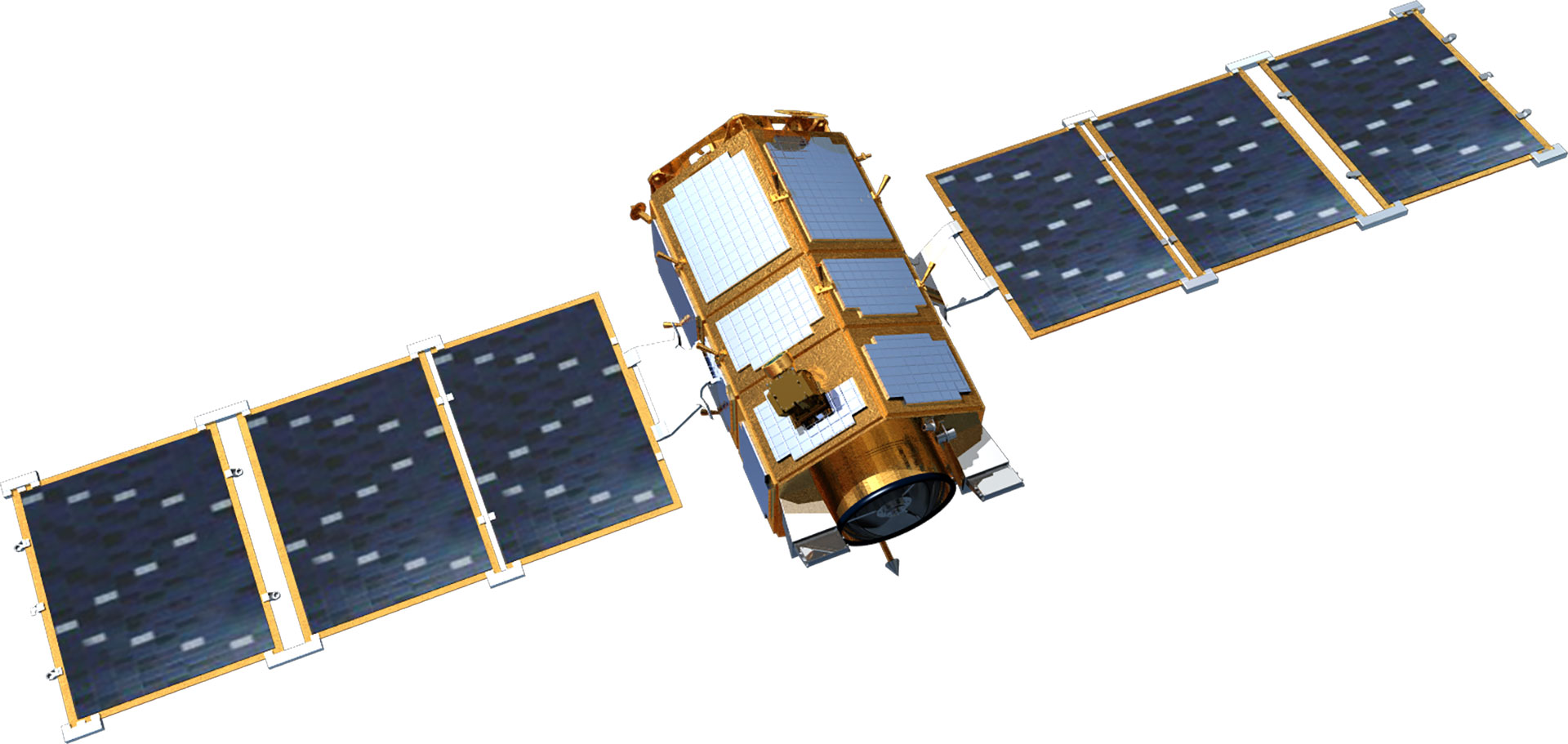
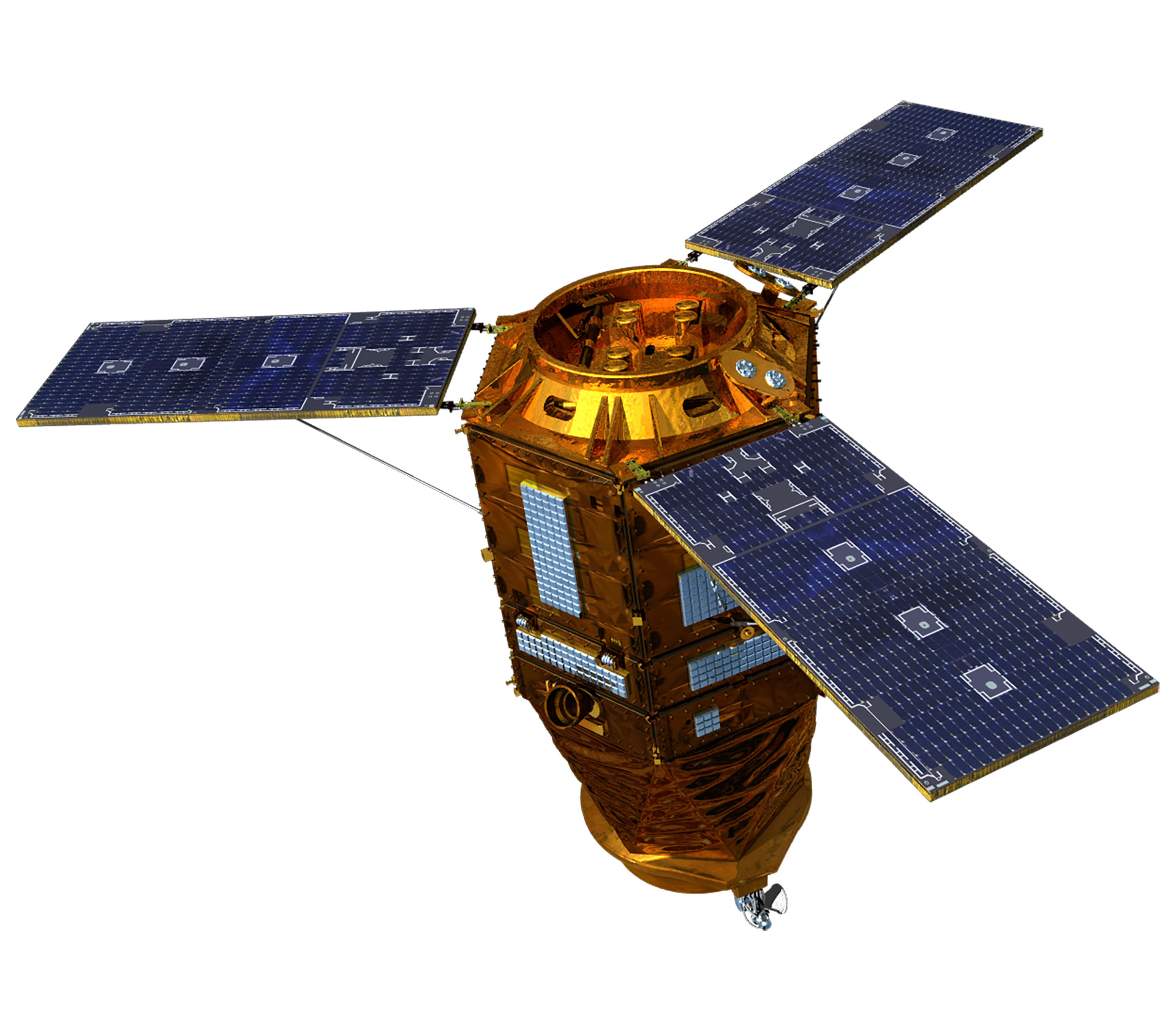
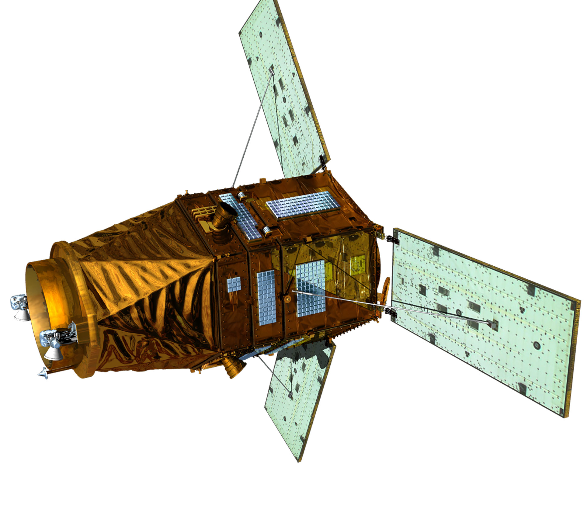
The research and development of satellites in Korea began in 1994 when the General Science and Technology Council approved a multipurpose satellite (Arirang) development project. The multipurpose Arirang 1 was developed in 1999 to meet public demand for satellite images, with Arirang 2 developed under the initiative in Korea in 2006. Later, Arirang 3, Arirang 5, and Arirang 3A were developed in 2012, 2013, and 2015, respectively. Currently, KARI is developing Arirang 6, a high-precision radar satellite, and Arirang 7 and Arirang 7A as cutting-edge precision earth observation optical satellites. Moreover, it developed Cheollian 1, Korea’s first geostationary orbit satellite capable of independent meteorological and ocean observation services. It also developed—and is currently operating—Cheollian 2A, which is capable of more precise meteorological observation than Cheollian 1, and Cheollian 2B, which is capable of marine observation as well as the world’s first atmospheric environmental observation from the geostationary orbit. In particular, Cheollian 2B is expected to help resolve conflicts between countries and social problems due to fine dust by identifying the migration path of air pollutants, such as fine dust, around the Korean Peninsula. KARI has also developed small and scientific experimental satellites, such as Science and Technology 1 in 2003 and Naro Science and Science and Technology 3 in 2013. KARI has secured its independent satellite development technology by developing multipurpose satellites and geostationary orbit satellites. 500kg next-generation mid-size satellites 1 was launched in 2021 to transfer satellite technology to private industry with the aim of industrialising domestic satellites.| Subject | Arirang (Multipurpose Satellite) | Next-Generation Mid-Size Satellite | ||||||||
|---|---|---|---|---|---|---|---|---|---|---|
| 1 | 2 | 3 | 3A | 5 | 6 | 7 | 7A | 1 | 2 | |
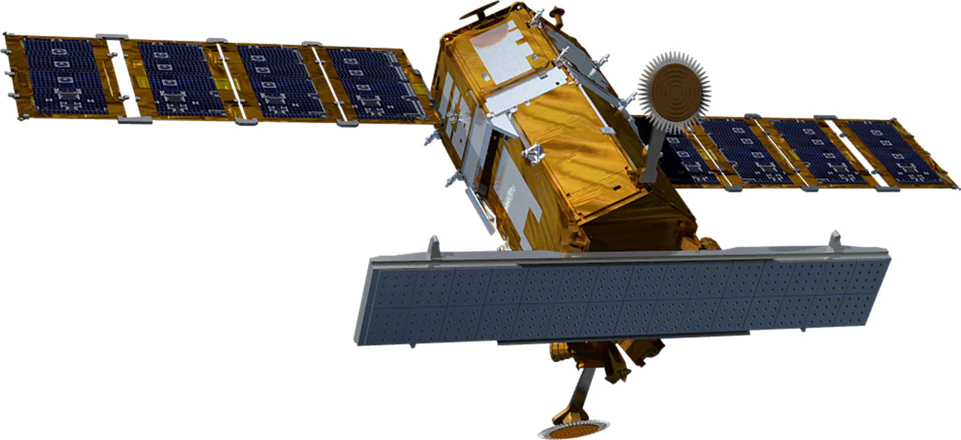
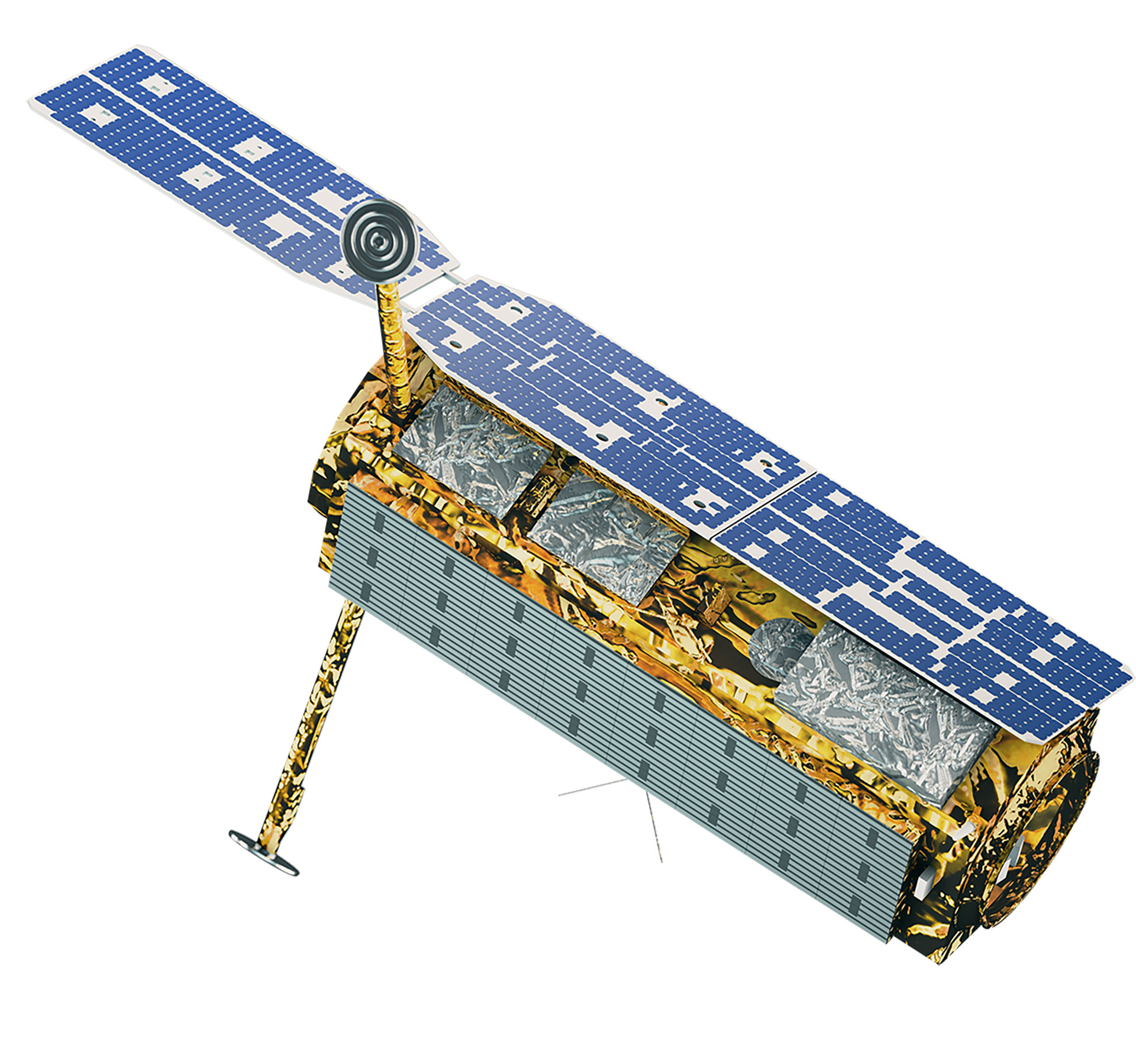
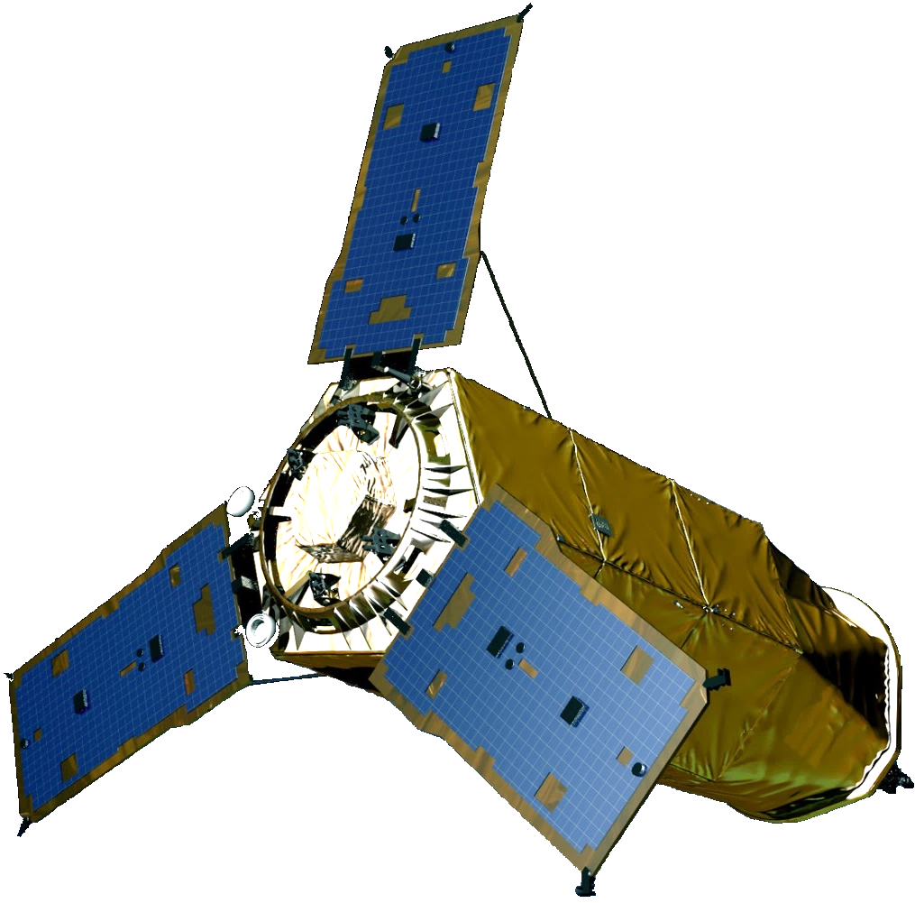
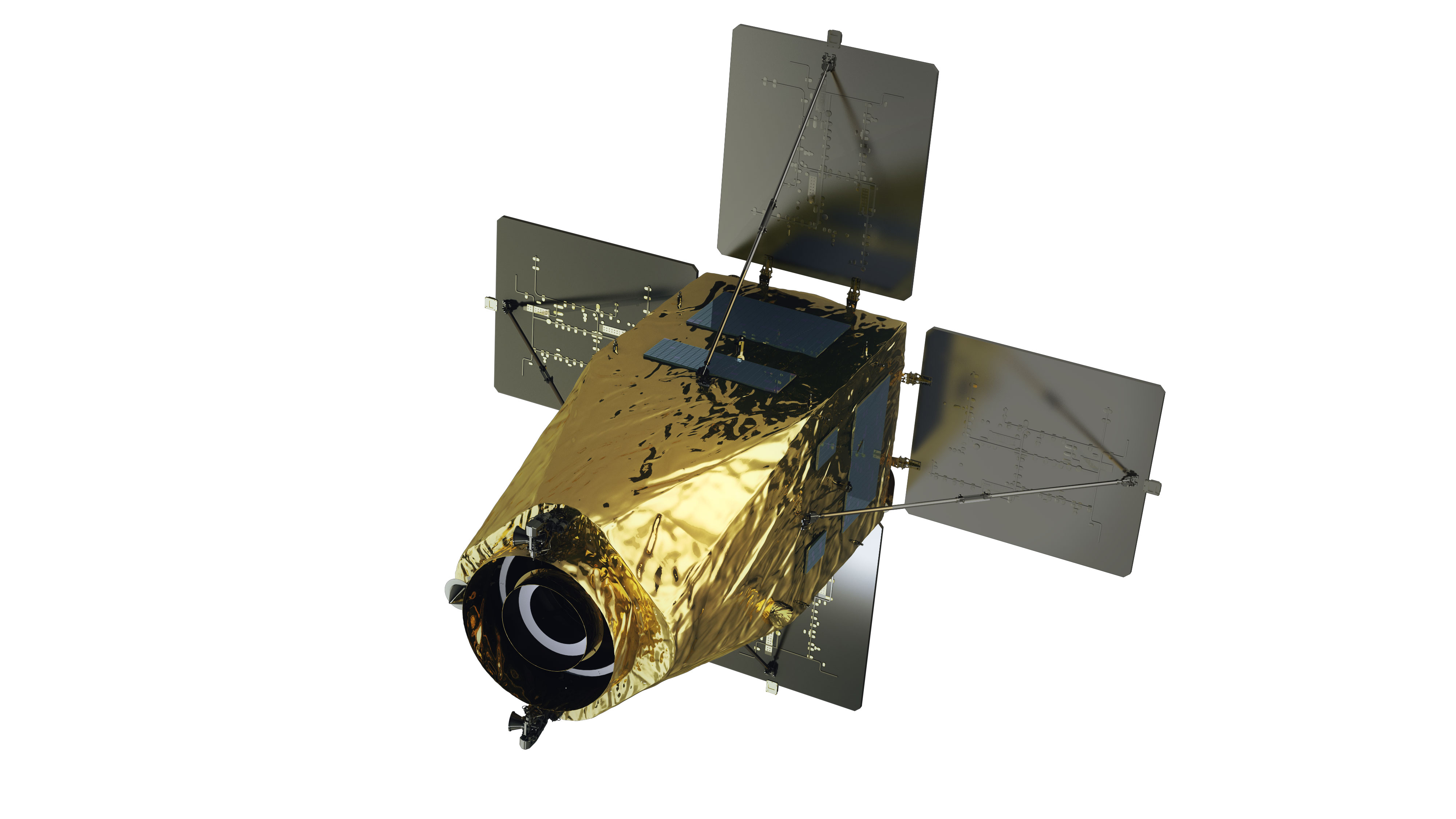
| Purpose | Earth observation (Optical) | Precise earth observation (Optical) | Precise earth observation (Optical) | Precise earth observation (Optical + IR) | All-weather earth observation (Image radar) | All-weather earth observation (Image radar) | Precise earth observation (Optical + IR) | Precise earth observation (Optical + IR) | Earth observation (EOS) | Earth observation (EOS) |
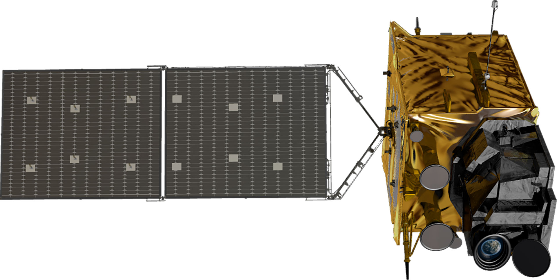
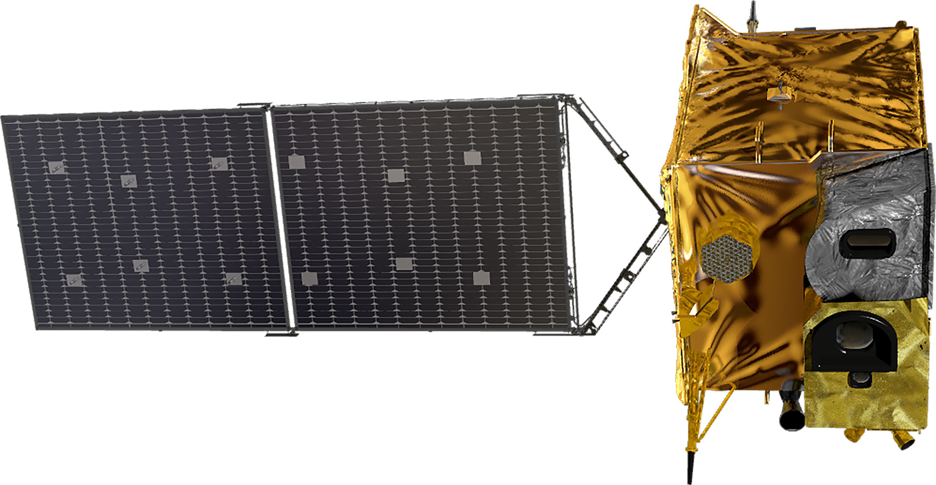
| Satellite Shape | 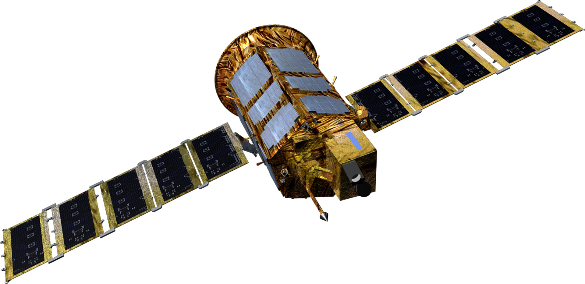 |
 |
 |
 |
 |
 |
 |
 |
 |
 |
| Project Period | 1994.11- 2000.1 | 1999.12 - 2006.11 | 2004.8 - 2012.8 | 2006.12 - 2015.12 | 2005.6 - 2015.6 | 2012 - 2014 | 2016 - 2023 | 2016 - 2023 | 2015 - 2019 | 2018 - 2020 |
| Weight(kg) | 470 kg | 800 kg | 980 kg | Around 1,100 kg | Around 1,400 kg | 1,750 kg | 2000 kg | 2000 kg | 500 kg class | 500 kg class |
| Mission Life | 3 years | 3 years | 4 years | 4 years | 5 years | 5 years | 5 years | 5 years | 4 years | 4 years |
| Performance (resolution) |
B&W 6.6m | B&W 1m Color 4m |
B/W 0.7m Color 2.8m |
B&W 0.55m Color 2.2m |
Radar image 1m/3m/20m | Radar image 0.5m/3m/20m | B&W 0.3m Color 1.12m |
B&W 0.3, color < 1.12m | B&W 0.5m Color 2m |
B&W 0.5m Color 2m |
| Launch Vehicle | Taurus (US) | Rockot (Russia) | H2-A (Japan) | Dnepr (Russia) | Dnepr (Russia) | Vega-C (France) | Vega-C (France) | Falcon9(US) | Soyuz-2 (Russia) | - |
| Launch Site | Vandenberg (US) | Plesetsk (Russia) | Tanegashima (Japan) | Yasny (Russia) | Yasny (Russia) | Guyana (France) | Guyana (France) | Cape Canaveral(US) | Baikonur (Kazakhstan) | - |
| Launch Date | '1999.12.21 | '2006.7.28 | '2012.5.18 | '2015.3.26 | '2013.8.22 | To Be Determined | To Be Determined | To Be Determind | '2021.3.22 | To Be Determined |
| Operation Status | Mission completed (2007.12) | Mission completed (2015.10) | In operation | In operation | In operation | Under development | Under development | Under development | In operation | Under development |
| Type | Public geostationary orbital satellite | |||
|---|---|---|---|---|
| Cheollian 1 | Cheollian 2A | Cheollian 2B | Cheollian 3 | |
| Purpose | Public communication/Marine/Weather observation | Weather/Spaceobservation | Marine/Environmentalobservation | Offering public satellite communication service |
| Shape | 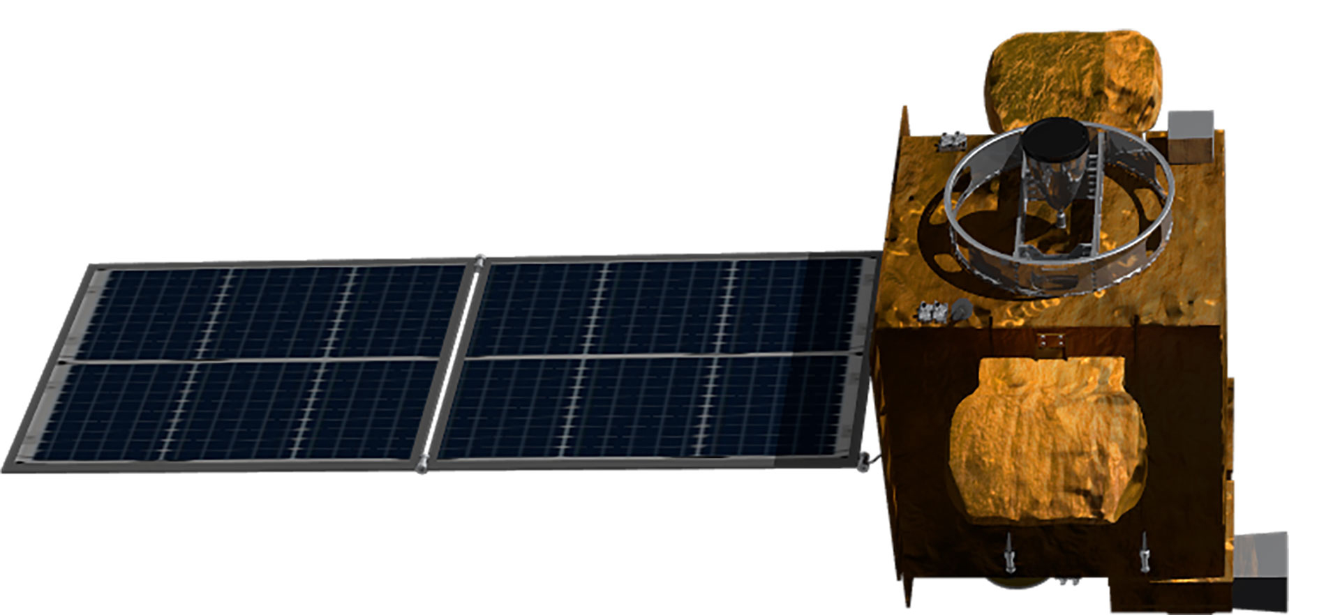 |
 |
 |
 |
| Development Period | 2003.9 - 2010.12 | 2011.7 - 2020.10 | 2021.4 - 2027.12 | |
| Launch Date | 2010.6.27 | 2018.12.5 | 2020.2.19 | To be Determined |
| Weight | 2,460 kg | 3,507 kg | 3,386 kg | 3,500 kg |
| Life | 7 years | 10 years | 10 years | 15 years |
| Satellite body development | Astrium(France)/KARIjoint development | KARI | KARI | KARI |
| Launch vehicle | Ariane5 (France) | Ariane5 (France) | Ariane5 (France) | - |
| Launch site | Guyana (France) | Guyana (France) | Guyana (France) | - |
| Remarks | Korea’s first geostationary orbital satellite | Geostationary orbital satellites independently developed in KOREA | ||
| Operation Status | Weather observation Mission completed (‘20.4.1) | In operation | In operation | Under development |
World-class satellite development technology
Although Korea was a latecomer, having begun developing satellites in the 1990s, it has come a long way thanks to continuous investment and R&D, and it is considered to be among the world's top six or seven in terms of satellite development capability. It has secured the world's most advanced satellite design, analysis, assembly, and test technologies to meet various domestic satellite demands. Having constructed a cutting-edge satellite testing facility, it owns satellite operation infrastructure and technology and satellite information utilization technology essential for satellite development. KARI has accumulated technologies for developing low-orbit earth observation satellites and geostationary satellites applying advanced technologies through world-class satellite research and development. It transfers its satellite development technologies to private industries.Geostationary Satellites
Development of world-class geostationary satellites
KARI developed Cheollian 1, Korea’s first geostationary satellite capable of independent meteorological and ocean observation services. It has also developed and operated Cheollian 2A, which is capable of more precise meteorological observation than Cheollian 1, and Cheollian 2B, which is capable of marine observation around the Korean Peninsula as well as the world’s first atmospheric environmental observation from the geostationary orbit. With the development of Cheollian 1, Korea became the world’s seventh country to have an independent meteorological satellite. Cheollian 2A, the successor to Cheollian 1, is performing a more advanced meteorological observation mission. Cheollian 2B is expected to help resolve conflicts between countries and social problems due to fine dust by identifying the migration path of air pollutants, such as fine dust, around the Korean Peninsula. The main body development technology secured during the development of Cheollian 1 and subsequent Cheollian 2A and 2B will be used as a basic platform for developing communication/broadcasting satellites or navigation satellites in the future. Moreover, the unique domestic model of the mid-sized geostationary satellite built through the development of the Cheollian 2 satellites can be applied to the development of geostationary satellites in the future. It is considered to have laid the foundation for domestic geostationary satellite development technology to reduce satellite development costs and improve technology reliability.Cheollian 2A and 2B Payload Performance
| Type | Cheollian 2A | Cheollian 2B | |
|---|---|---|---|
| Weather Payload | Marine Payload | Environmental Payload | |
| Resolution | Local observation, extended local observation, and global observation: - Visible light (0.6 μm band: 0.5 km) - IR: 2 km | Regional observation: 250 m Global observation: 1000 m | 7 km (south-north direction based on Seoul) |
| Channels | 16 channels (Visible : 4 channels IR: 12 channels) | 13 channels (Visible : 9 channels, Near IF: 3 channels, and wide bandwidth: 1 channel) | 1000 channels(0.2 ㎚×1000 spectral data reception)(Hyperspectroscope), UV/visible channels) |
| Observation Cycle | Local observation: 30 times/hrExtended local observation: 30 times/hrGlobal observation: 6 times/hr | Regional observation: 10 times/day (daytime)Global observation: 1 time/day (daytime) | 8 times or more/day (daytime) |
| Observation Time | Local observation: ≤ 2 minutesGlobal observation: ≤ 10 minutes | Regional observation: At HH:15 of every hour (daytime) | At HH : 45of every hour (daytime) |
| Observed area and image | Global (FD) and extended local observation (ELA):3,800 km (east-west) × 2,400 km (north-south)Local observation (LA):1,000 km×1,000 km | Regional observation (LA): 2,500 km×2,500 km Global observation (FD) | Regional observation (East Asia): 5,000 km×5,000 km |
| Development Entity | Harris (US) | Airbus (France) - KARI joint development | BATC (US) - KARI joint development |
Disaster/Emergency communication and precision navigation reinforcement support to prepare for a communication paradigm shift
The Public Multipurpose Communication Satellite is a geostationary orbit satellite being developed as the succeeding model of Cheollian Satellite 2A/2B. It plans to provide communication services for disaster/emergency response, support for the development of next-generation satellite/ground interface technology, and precision navigation correction service. The Ministry of Science and ICT, Ministry of Environment, Ministry of Land, Infrastructure and Transport, and Coast Guard will share a development budget of more than 400 billion won, and development will start in 2021 with the goal of launching in 2027. The total budget is 411.8 billion won, 260 billion won of which will be assumed by the Ministry of Science and ICT, 50.2 billion won, by the Ministry of Environment, 53.3 billion won, by the Ministry of Land, Infrastructure and Transport, and 48.3 billion won, by the Coast Guard. The flexible broadband communication payload of the geostationary orbit Public Multipurpose Communication Satellite uses high-frequency radio waves (Ka-band) suitable for large-capacity data transmission. Although large-capacity data transmission is crucial for next-generation communication, constructing a ground base station alone is very costly and difficult to maintain. Linking the satellite to applying a high-frequency payload with the ground network is essential. The Public Multipurpose Communication Satellite provides the testbed for satellite-ground network linkage to develop the ground equipment. Flexible broadband communication payload will improve public safety through rescue and security activities as it can also provide disaster/emergency communication service in remote areas, such as sea and mountains. Moreover, the satellite communication network in the sea, where it is difficult to support the terrestrial communication network, can support effective rescue and territorial sea protection activities of the Korea Coast Guard.| Payload type | Main functions | Main mission |
|---|---|---|
| Flexible broadband communication system (FBCS*) * Flexible Broadband Communication System (Ministry of Science and ICT 2nd Vice Minister / Coast Guard / Ministry of Environment) |
|
|
| DCS* * Data Collection System (Ministry of Environment) | - Using the L-band low-frequency to provide a stable communication environment regardless of climate ※Suitable for small-capacity data transfer for measured value, etc. |
|
| SBAS* * Satellite-BasedAugmentation System (Ministry of Land, Infrastructure and Transport) | - Precision position control that compensates for errors in the satellite navigation system to support automatic aircraft takeoff and landing and ship collision prevention |
|
- Specifications3.5-ton geostationary orbit satellite with mission life of 15 years
- Operating orbitGeostationary orbit
- MissionDisaster/Emergency communication, flood, and other water disaster monitoring, precision navigation reinforcement support, etc.
- FeaturesFlexible broadband communication payload, information collection payload, and satellite navigation correction payload
- Launch dateScheduled for the second half of 2027
Building Korea’s basic platform for geostationary satellites
Cheollian 2B is a geostationary satellite for observing oceanic and global atmospheric environments around the Korean Peninsula. In particular, Cheollian 2B is the world’s first satellite equipped with an environmental payload. It observes the migration path of air pollutants around the Korean Peninsula. It is equipped with a laser reflector for research in preparation for the need to improve orbital precision in future navigation satellites. It succeeded in obtaining orbital location information using the satellite laser tracking system on the ground, and it plans to acquire data to perform orbit determination analysis such as estimating the existing prediction information bias. Cheollian 2A and Cheollian 2B laid a foothold for domestic geostationary satellite development technology to reduce satellite development costs and improve proven technologies' reliability. The know-how acquired through the development of Cheollian 1 helped localize core hardware parts such as satellite structure, heat control parts (heat pipes, etc.), satellite-mounted computer and power distribution devices, and heater pyro pulse units. Such geostationary satellite localization platform can be used as a basic platform for domestic geostationary satellite missions such as early warning, navigation, data relay, and communication broadcasting in the future.Atmospheric environment observation of the seas and fine dust
Launched on February 19, 2020, Cheollian 2B is equipped with environmental and marine payloads. It is expected to stay in the geostationary orbit for about ten years to monitor and measure the atmosphere and oceans over the Korean Peninsula and East Asia. KARI developed a geostationary environment monitoring spectrometer (GEMS) and mounted it on Cheollian 2B, the world’s first geostationary satellite to be equipped with GEMS. The environmental payload is a hyperspectroscope that can measure trace gases in the atmosphere. It uses hyperspectral imaging technology to detect an object and analyze its components by subdividing the wavelength data released by the object in response to light. The environmental payload can precisely measure 20 atmospheric environmental items, such as aerosol, nitrogen dioxide, sulfur dioxide, and ozone, with a 8㎞(horizontal) and 7km(vertical) resolution. It can observe the region that spans from the east of Japan to the Indochinese Peninsula in the east-west direction and from Northern Indonesia to Southern Mongolia in the north-south direction to track the generation location, amount, and migration path of air pollutants around the Korean Peninsula. Cheollian 2B is the world’s first satellite to mount an environmental payload for observing the earth's atmosphere from a geostationary orbit at an altitude of 36,000 km, not a low Earth orbit around 1,000 km. There is a limit to observing the atmospheric environment from the low Earth orbit since the satellite moves faster than the Earth's rotation. In contrast, Cheollian 2B in the geostationary orbit can continuously stay above the Korean Peninsula and monitor air pollution at all times during daytime. Moreover, Cheollian 2B is equipped with a marine payload (GOCI-II, Geostationary Ocean Color Imager 2) whose performance is superior to Cheollian 1. Compared to Cheollian 1, Cheollian 2's marine payload acquires high precise marine observation data with a 4 times better resolution, 1.6 times increased number of observation bands, 10 times a day(or 1.3 times of Cheollian 1). The marine payload can distinguish between two objects placed 250m apart on the ground surface. It can precisely monitor marine disasters such as red tide, green algae, ocean current, sea fog, and marine environments such as migration and spread of contaminated seawater near the shore and ecology of marine waste dumping areas. As a result, it can provide a wide range of marine information closely related to people’s lives.Cheollian Satellite Specification and Data
| Subject | Cheollian 1 | Cheollian 2A | Cheollian 2B | |
|---|---|---|---|---|
| General | Mission lifetime | 7 years | 10 years | |
| Mission | Satellite communication, meteorological, and marine observation | Meteorological and space meteorological observation | Marine and environmental observation | |
| Orbit | Geostationary orbit (satellite operating longitude 128.2° E) | Geostationary orbit (satellite operating longitude 128.2° east longitude) | Geostationary orbit (satellite operating longitude 128.2° east longitude) | |
| Mass | 2.5 tons | 3.5 tons | 3.4 tons | |
| Development Plan | Joint international development | Domestic development (system, main body, and earth station) | Domestic development (system, main unit, and earth station) | |
| Budget | KRW 354.9 billion (one satellite) | KRW 704.9 billion (two satellites - Cheollian 2A and 2B) | ||
| Payload | Configuration | Meteorological payload, marine payload, and Ka-band communication payload | Meteorological payload (AMI) and space weather payload (KSEM) | Marine payload (GOCI-2) and environmental payload (GEMS) |
| Resolution | Meteorological payload: 1km (VIS) 4km (IR) (Regional and global observations) Marine payload: 500m (Regional observation) | Meteorological payload: 500 M (0.6 μm), 1 km (VIS) and 2 km (IR) (Regional and global observations) | Marine payload: 250 m (Regional observation, nadir) Environmental payload: 7×8㎢ (Seoul basis) | |
| Channels | Meteorological payload: 5 channels (1 visual and 4 IR)Marine payload: 8 channels (8 visual) | Meteorological payload: 16 channels (4 visual and 12 IR/near IR) | Marine payload: 13 channels (Including the star image recording band)Environmental payload: 1000 channels (UV-visible light domain, 0.6 ㎚ intervals) | |
| System/Main body | Observed image position correction | Meteorological payload: < 56 uradMarine payload: < 28 urad | Meteorological payload: < 21 urad | Marine payload: < 14 urad Environmental payload: < 1 pixel |
| Size | (At launch) 2.9 × 2.2 × 3.3 m (On orbit) 5.3 × 8.7 × 3.3 m | (At launch) 2.9 × 2.4 × 4.6 m (On orbit) 3.8 × 8.9 × 4.6 m | (At launch) 2.9 × 2.4 × 3.8 m (On orbit) 2.9 × 8.8 × 3.8 m | |
| Power | 2,435 W @ at the end of the mission | 2,550 W @ at the end of the mission | 2,550 W @ at the end of the mission | |
| Orbit determination precision/td> | 18km | 2km | 2km | |
| Orientation precision | Roll: 0.352°, Pitch: 0.352°, Yaw: 0.657° | Roll: 0.075°, Pitch: 0.075°, Yaw: 0.108° | Roll: 0.075°, Pitch: 0.075°, Yaw: 0.108° | |
| Data transmission rate | < 6.2 Mbps | < 115Mbps | < 115Mbps | |
- SpecificationMass 3,379 kg
- OrbitGeostationary (36,000 km)
- MissionMarine/Environmental observation
- ResolutionMarine 250 m, Environmental 7 km
- Launch dateFebruary 19, 2020
Simultaneous development of Cheollian 2A and 2B
As Korea’s first independently developed geostationary satellite, Cheollian 2A was developed to perform faster and more accurate meteorological observation than Cheollian 1 and establish independent geostationary satellite development capability and core technology independence. Based on the experience of developing Cheollian 1 and Arirang satellites, from design to assembly and testing of the main body, KARI developed its model of mid-size geostationary satellites with a mission lifetime of 10 years and launch mass of 3.5 tons. Cheollian 2A applied precision control technology using a star tracker to provide the high-precision orientation accuracy required by the high-performance imaging payload in the geostationary orbit. Moreover, KARI has succeeded in localizing more than 25 types of satellite hardware such as satellite-mounted computer, payload connection devices, structures, multi-layered thin film insulation, power distributors, and pyro connection units. It has independently developed the flight software operating satellite hardware, transfer orbit operation technology for geostationary orbit movement after satellite launch, ground control system, image processing system, and observation image geometric correction system (INR). Main body assembly, performance test, and launch preparation, except for the meteorological payload, were all performed with domestic know-how. Currently, only seven countries, including the United States, European Union, Japan, India, China, Russia, and Israel, have geostationary satellite technology.Four times higher resolution than Cheollian 1
Cheollian 2A is a faster, more accurate weather observation satellite. Compared to Cheollian 1, its spatial resolution is improved by four times. The observation period is significantly reduced to 10 minutes for the globe and 2 minutes for the Korean Peninsula, allowing 18 times faster observations. While Cheollian 1 was capable of black and white images only, Cheollian 2A can record color images. Moreover, the number of observation channels has more than tripled, and it can observe the same area three times faster. With the launch of Cheollian 2A, Korea has greatly improved the weather observation and forecast accuracy and capability to monitor and forecast in the Korean Peninsula and Asian region. Cheollian 2A has 16 channels (4 visible, 2 near IR, and 10 IR) compared to 5 channels (1 visible and 4 IR) of Cheollian 1, more than tripling the number of types of serviced weather data from 16 to 52. Cheollian 2A can detect clouds and calculate cloud optical thickness, cloud particle size distribution, and potential precipitation. It can also detect aerosols, yellow sand, volcanic ash, and sulfur dioxide (SO2) and calculate particle size and optical thickness. Moreover, it can derive meteorological outputs such as sea level and surface temperature, snowfall, sea ice, and ocean currents.Cheollian 2A Specification and Data
| Subject | Cheollian 1 | Cheollian 2A | |
|---|---|---|---|
| General | Mission lifetime | 7 years | 10 years |
| Mission | Satellite communication, meteorological, and marine observation | Meteorological and space weather observation | |
| Orbit | Geostationary orbit (Satellite operating longitude: 128.2oE) | Geostationary orbit (Satellite operating longitude: 128.2oE) | |
| Mass | About 2.5 tons | About 3.5 tons | |
| Number of satellite platforms | 1 unit | 2 units (meteorological/space weather) | |
| Development Plan | Joint international development | Independent (system/main body/ground station) | |
| Budget | KRW 354.9 billion (one satellite) | KRW 720.0 billion (two satellites - Cheollian 2A and 2B) | |
| Payload | Configuration | Meteorological payload, marine payload, and Ka-band communication payload | Meteorological payload (AMI) and space weather payload (high-energy particle detector, satellite charging monitor, and magnetometer) |
| Resolution | Meteorological payload: 1 km (VIS) and 4 km (IR) (Regional and global observations)Marine payload: 500 m (local observation) | Meteorological payload: 500 M (0.6 μm) and 1 km (VIS), 2 km (IR) (Regional observation and global observation) | |
| Channels | Meteorological payload: 5 channels (1 visual and 4 IR)Marine payload: 8 channels (8 visual) | Meteorological payload: 16 channels (4 visual and 12 IR/near IR) | |
| System/Main body | Observed image position correction | Meteorological payload: < 56 uradMarine payload: < 28 urad | Meteorological payload: < 21 urad |
| Main body size | (At launch) 2.9 × 2.2 × 3.3 m (On orbit) 5.3 × 8.7 × 3.3 m | (At launch) 2.9 × 2.4 × 4.6m (On orbit) 3.8m × 8.9m × 4.6m | |
| Launch mass | 2.5 ton | GK2A : ~ 3.5 ton | |
| Power | 2,621 kW @ at the end of the mission | 2,633 kW @ at the end of the mission | |
| Orbit determination precision | 18km | 2km | |
| Orientation precision | Roll: 0.352°, Pitch: 0.352°, Yaw: 0.657° | Roll: 0.075°, Pitch: 0.075°, Yaw: 0.108° | |
| Data transmission rate | < 6.2 Mbps | < 115Mbps | |
- SpecificationMass 3,507 kg
- OrbitGeostationary (36,000 km)
- MissionMeteorological/Space Weather observation
- ResolutionVisible channel 500 m/1 km. IR channel 2 km
- Launch dateDecember 5, 2018
Laying the foundation for the independent development of geostationary satellites
As the first geostationary satellite developed in Korea, Cheollian 1 observes the weather and oceans around the Korean Peninsula and provides satellite communication test services. Cheollian 1 was developed to have the capability to build geostationary satellites in Korea and secure mid-sized geostationary satellite technology. Although Korea had acquired the know-how to develop the Arirang satellite, a low Earth orbit satellite, it had none on developing geostationary satellites. Cheollian 1 was designed and assembled in collaboration with Astrium, an overseas partner. KARI acquired geostationary satellite development technology through the development of Cheollian 1 and independently designed and developed the subsequent satellites, Cheollian 2A and 2B.World’s seventh country to operate a meteorological observation satellite
- SpecificationDiameter 3.4 m, height 3.3 m, and mass 2,460 kg
- OrbitGeostationary (36,000 km)
- MissionMeteorological/Marine observation and public communication
- FeatureKorea's first geostationary satellite
- Launch dateJune 27, 2010